When Visit Ruapehu contacted me in early February asking whether I would be interested in taking some images on the Crossing, I jumped at the chance to make this 20km hike a reality again. We settled on the weekend of 25-26 February to do the hike and began praying like mad for good weather - this summer had been so darn changeable that anything was possible. Early on in the week it had looked somewhat showery but I kept hoping that it would turn out better than we hoped.
Heading off after work on Friday night, discussions along the way in the car came with the realisation that our accommodation for the first night required bedding and I'd completely forgotten to pack any. Cue a small detour to the Te Kuiti warehouse to pick up a cheap duvet and pillows for $18 and we were on our way again, although my hopes of making it to the mountains in time for sunset were dashed as that small detour meant we were just a few minutes late arriving to any good vantage points. And as it turned out there WAS bedding provided after all so the detour was wasted anyway haha!
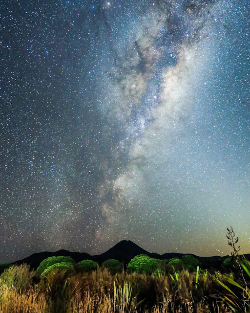
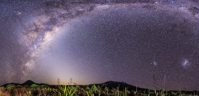
I consoled myself with the thought that a 4.30am start might instead prove fruitful if clear skies delivered up the Milky Way. After packing our bags ready for the hike, I was a wee bit concerned at the weight of them. I had all the camera gear and tripod in my bag which left poor Mark with 4 litres of water to carry plus all our food. We'd sure be making heavy work of this hike!
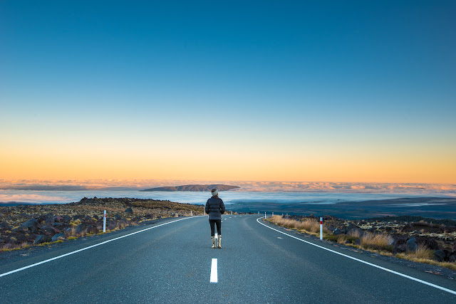
The alarm went off at 4.15am and I quietly crept out of the cabin with camera and tripod in tow and headed out to the main State Highway 47, the road on which Discovery Lodge is based. On my way along the driveway, I saw a shooting star fall out of the sky before me - no matter how many times I see one I always get such an electric jolt of thrill.
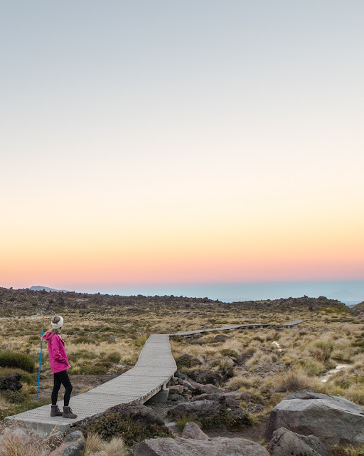
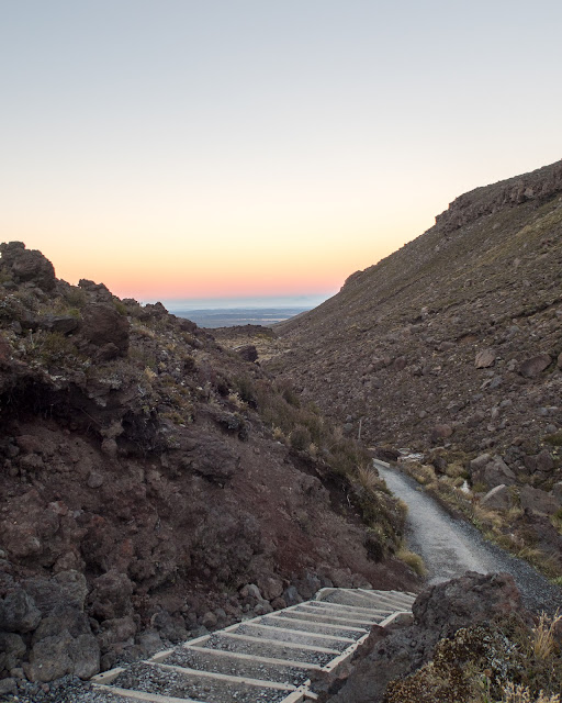
As we drove along the road, a sliver of a moon peeked out from behind Mt Nguaruhoe and behind that came the dawn. We started off just before 6am in near darkness and despite my bladder being notoriously fickle, it was Mark not me who had to make a pitstop at the first toilet at Mangtepopo Hut (about 15 minutes into the journey!). As we started the gradual ascent to Soda Springs the skies lightened and looking behind us was the most incredible vista of Mount Taranaki, some 150km away lit up by the glorious pink and gold hues of dawn. We could even see one of the huts on the mountain reflected by the sun hitting it - amazing!
By 7.30am we'd reached the LAST toilet stop for four hours at the end of Soda Springs and decided we'd better make use of it although making a toilet stop on this hike is not for the faint of heart. The smell reaches you long before you even reach the toilet but then you can't expect much more when thousands of people are using a very limited number of toilets every day.
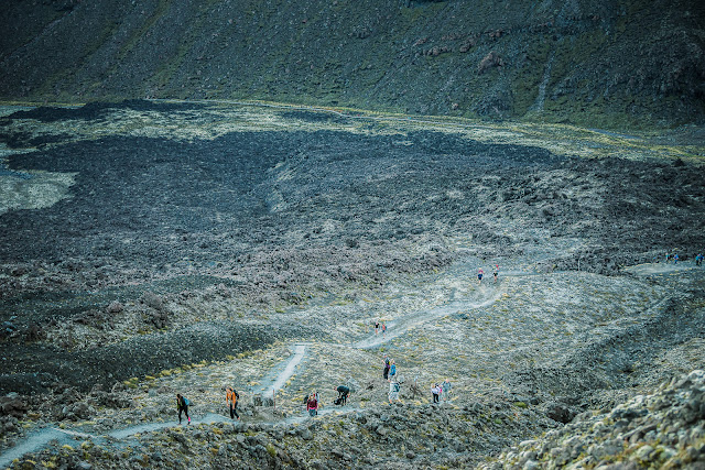
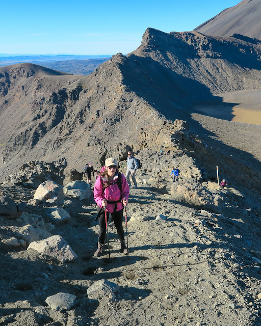
Bananas were consumed for breakfast as we began the steepest part of the day so far, the climb up to South Crater through the Mangatepopo Saddle on the Devils Staircase - sounds appealing doesn't it?! This section of the track takes you up 200 metres in a relatively short time so it's a matter of slogging it out with frequent stops to admire the views of Mount Taranaki off in the distance (otherwise known as surreptitiously catching one's breath). We were lucky to be climbing this part of the walk in the shade so it was still relatively cool and the sun only really hit us when we reached the top of the saddle.
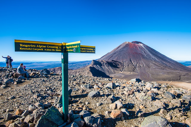
From the saddle, those with the keenest sense of adventure and fitness can take a detour up to climb Mt Nguaruhoe (an extra 3 hour return journey on an already long day). I'd climbed Nguaruhoe back in high school and had no great desire to repeat the experience as I remember well the VERY steep scoria slide all the way down being very hard on the knees.
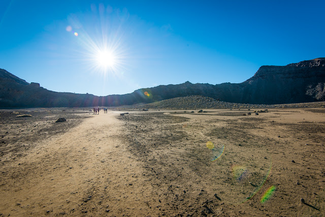
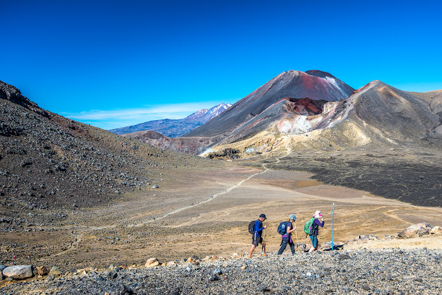
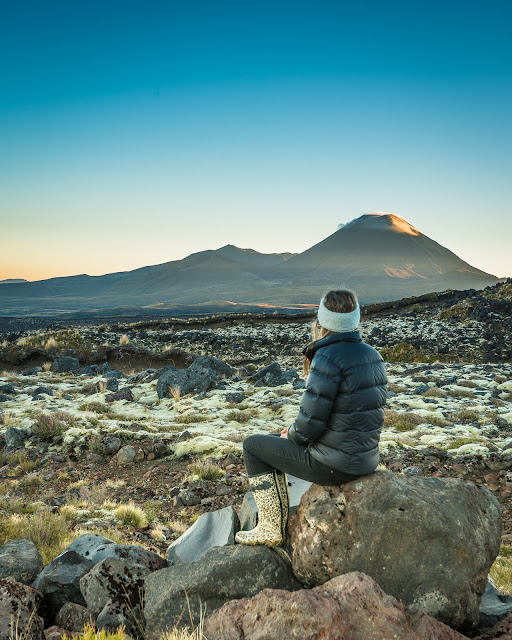
Once we reached South Crater, it was a really pleasant change to amble through a completely flat section for a good 15 minutes and plenty of time to admire Mt Doom (Nguaruhoe) - this was as close as we would ever get to it on the Crossing.
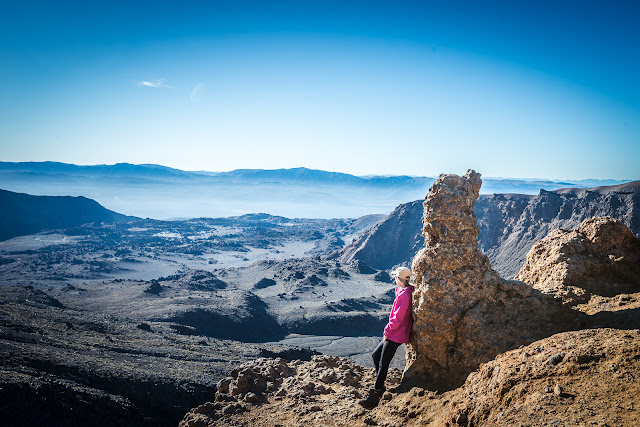
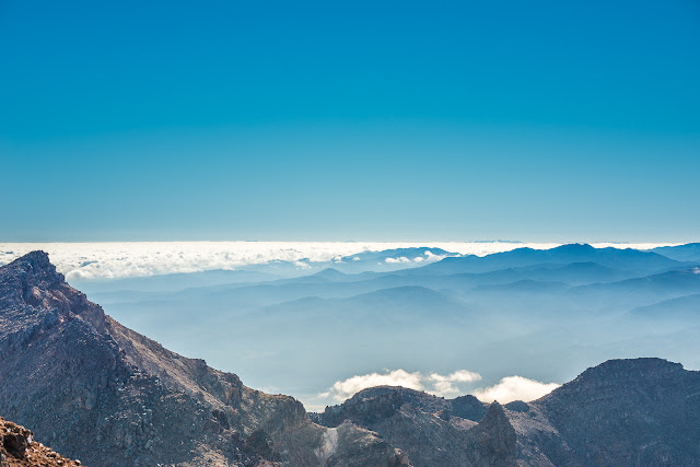
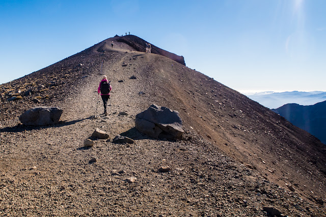
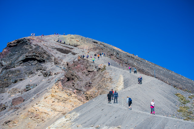
From South Crater, it's all uphill again - once we made it to the ridge for the first time we could enjoy views over the Central Plateau south towards the Desert Road. It was a short pause as the toughest part of the uphill was ahead, climbing up the ridge to Red Crater.
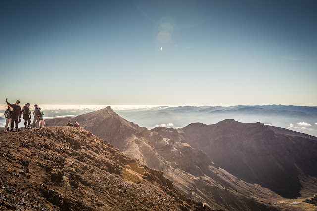
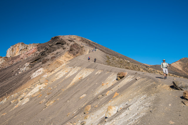
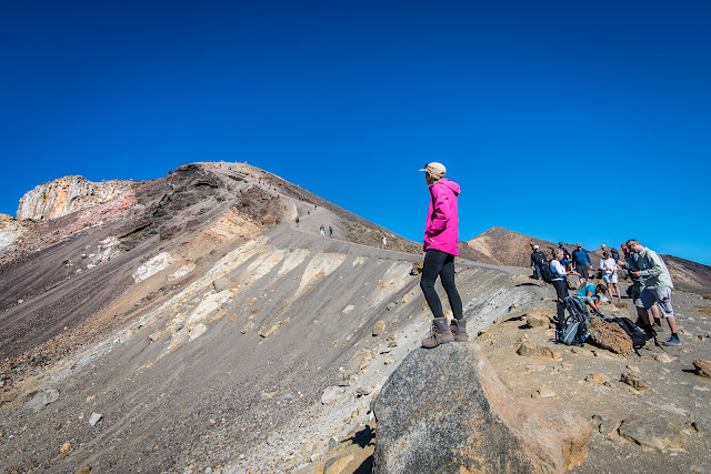
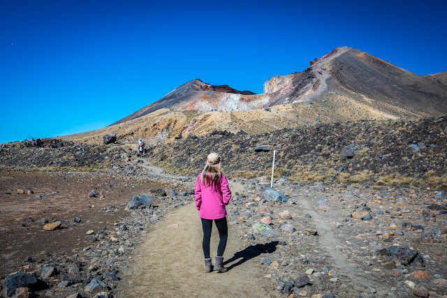
It looks tough looking up but in reality it doesn't take long at all and suddenly you're standing there - all 1886 beautiful metres above sea level. Feeling as if you're on top of the world with views in all directions - Nguaruhoe one side, Red Crater another, the Emerald Lakes and still further on the Blue Lake and Taupo. Despite the fact we climbed in February (our hottest month here in NZ), we'd started our day in several merino layers and windproof coats in the dark, had ditched them for the hot climb up to South Crater, but we soon needed them again up at Red Crater with the wind chill of 10 degrees being apparent (and it wasn't even a windy day).
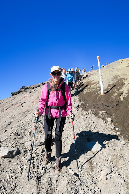
I could have stayed to admire the views all day but alas the rest of the Crossing was calling. Ahead was the slow slide down the scoria to the Emerald Lakes. This section is really steep and despite it being easy to go down it than up (which you would if you climbed the Crossing in reverse) it still felt like a slow pace, also because this is probably one of the narrowest parts of the Crossing and where everyone is taking much care not to fall off the side of the narrow ridge. This was probably the point at which I KISSED my walking poles for coming in so handy - after watching Mark slip over about 5 times in five minutes while I managed to keep on my feet.
After 20 minutes or so we were down at the Lakes, and looking back up the ridge it was incredible to think we'd just walked down it, it seemed SO steep. Everyone who walked past us was saying the same... 'wow did we just come down that?!'.
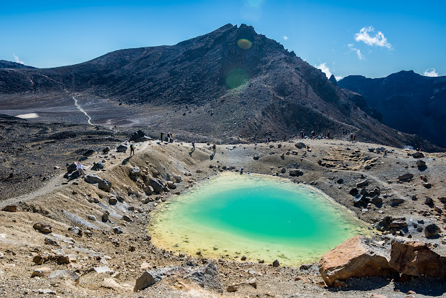
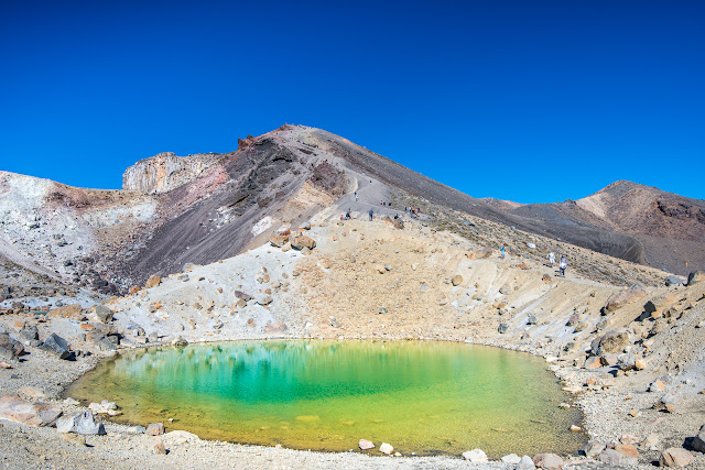
The Emerald Lakes are so stunning (if a little stinky from the sulphur smell - they are volcanic after all!) and a great place to stop for a while and enjoy morning tea - it was only about 10am by this point and we'd walked over half the track. I was a little reluctant to leave here as it was so picturesque but the only way out was to just keep walking.
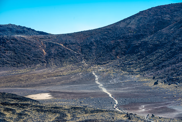
The next section of the hike walking to Blue Lake is delightfully flat and open and it's only a short uphill to reach the Blue Lake. This was probably my favourite view on the hike because looking back you could see ALL three mountains Ruapehu to the left, Nguaruhoe in the middle and Tongariro to the right nicely lined up - with the Crossing track and people walking clearly visible as well.
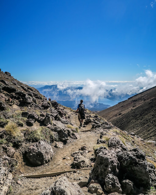
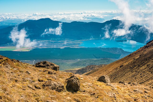
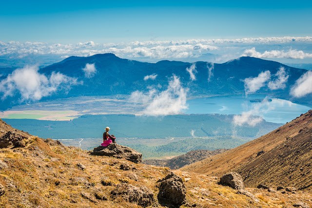
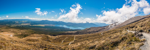
We didn't hang around too long here and carried on through the pass and onto the beginning of the long downhill section. I have to admit I didn't know too much of what to expect of the last section (I'd walked half the Crossing about fourteen years ago but there and back not one way like this time), and I loved the views of Lake Rotoaira and even Lake Taupo in the background that opened up as we walked through what felt like an alpine pass in Switzerland. The only dead giveaway that we were firmly in Aotearoa was the visible volcanic activity rising out of the craters to our left and right.
At this point, we were both pretty keen to get down to Ketetahi Hut where the next toilets were but were somewhat disillusioned when we rounded a corner and saw this long and snaking track that meant the Hut (probably 10 minutes straight down as the crow flies) was still near to an hour away. Cue a stealthy side of the track pit stop while no-one was looking. After that we were happy enough to wander on down to the Hut and take a much needed break for more food and water. It was nearly midday by this stage and we already knew we wouldn't make the 12.30 shuttle back and even 1.30 was looking not very likely either as neither of us was keen to rush. After enjoying the sit down for our legs in the rather hot sun, we headed off for the last section - 6km of downhill and approx 1.5 hours to go.
If there was one thing I would change about the Crossing, it's this section - just lots and lots and lots and lots of downhill. Oh and one very soul destroying part where you skirt round a valley and then have to do some uphill (when you know you just want to be getting to the end and going uphill just means more downhill again ha ha!). It was pretty hot by this stage too and the first 3km or so was still out in the open with no shade around. It was much better and COOLER once we hit the bush line and we felt somewhat refreshed again.
One of the most interesting parts of this last section is crossing through the 700m hazardous volcanic zone - there are signs up warning you to move through quickly and 'NO STOPPING'. This is (I believe) the route that the lahar took when it came through in 2012 after the Te Maari crater erupted on Tongariro, so no wonder they don't want you to dilly dally. But the fascinating thing here is that there's a brand new stream rushing down beside the track. After several hundreds or thousands of years a stream has a chance to bed (excuse the pun) in and carve out a path below where you walk - it was fascinating walking along the track with the stream rushing along right beside us and we could have (but didn't) reach out and touch it.
And then finally the carpark came into sight. After nearly 8 hours (of which only 5 hours was actual walking according to Mark's Strava) we'd done it. We collapsed gratefully under the shade shelter along with several hundred other people who had completed it, waiting for the shuttles/transport to take us back to reality and normality.
For us, this meant a night at the Chateau Tongariro thanks to Visit Ruapehu - a great reward for a hard day of walking 20km and taking oodles of photos. We sampled Pihanga Cafe for dinner, enjoyed a swim in the very bizarre yet funky underground heated pool and sauna after catching some lovely golden light down at the Mahuia rapids, and enjoyed a hearty spread at the Ruapehu Room for breakfast the next morning.
On the way back from the Falls, my ankle gave out and I crashed down a couple of steps hard onto my knees - oh the pain. I saw stars and it was a couple of minutes before I could get back up and walk. Thankfully no real damage done apart from 2 bruised knees and a bruised ego - but I couldn't believe I'd been so unlucky to put my back out AND fall down so spectacularly on the same morning. It would be a few days and a couple of trips to the chiropractor before I felt back to normal. However, the weekend was MORE than worth the short-term pain afterwards.
Despite the fact we walked on a day where there were probably a couple of thousand others also doing the track it never felt like it was ridiculously busy which is the impression I'd been given by others. 20km of track is a lot of space and for the most part it seemed to be just Mark and me in our own little world enjoying some of the best scenery that NZ could possibly offer on a bluebird day. It is an amazing experience and one I'd do again in a heartbeat - but perhaps with just one little camera and not 10kg of gear on my back next time.
And the sign of a highly successful trip? We loved it so much we are both keen to do another one of NZ's other Great Walks - perhaps a multi-day hike next year sometime.
Facts about the Tongariro Crossing if you are considering the journey:
Hike length: 19.4km
Altitude ascent: 700m
Altitude descent: 1,100m
Time to complete: 6-8 hours
The main DOC track information page is a good starting point, and there's even a Pocket Ranger app you can download here which has lots of useful information on it to keep handy to you on the day.
There are also several shuttle companies who will take you from one car park to the other or both from about $20 one way, we paid $35 each return from the lodge which meant we didn't have to worry about taking our car up the gravel track to the start at Mangatepopo.
I'd love to hear if you've completed this hike and what you thought of it - leave me a comment below!





















No comments :
Post a Comment